Orbits in 3D
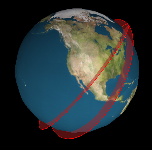
I’ve been playing around with ideas for a new satellite tracking web site. The main idea is to supplement a conventional 2D ground track map (like what I made for Where’s That Sat, or as often seen on the big screen at mission control) with a 3D view that displays the same orbits as paths swept out around the globe. I believe that seeing the actual shape of an orbit in space helps you to interpret the corresponding flat representation. So, there is even an eccentric pedagogic purpose to this project: it is an instructional aid for developing orbital map-reading ability.
Here’s an example:
The code to generate this image is crude, but the results are already encouraging.
Posted on Thursday, July 11th, 2013. Tags: geography.
